From 6th to 15th June 2012, a research team of ICA project carried out the fieldtrip to Hai Phong in order to: Collect spatial and non-spatial data for the GIS system and to take a survey for critical aquaculture areas then propose pilot areas for further studies within framework of the project.
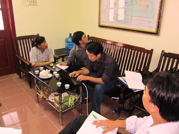
Participants to the fieldtrip, there were three technical staffs of the project, involved Mr. Nguyen Van Khanh, Mr. Nguyen Van Nhiem and Mr. Do Ngoc Khanh Truong. The fieldtrip team has been in DARD Hai Phong and was welcomed by the local authorities and the project local staff, Ms. Vo Thi Hong Phuong and the MsC candidate, Mr. Ngo Xuan Ba.
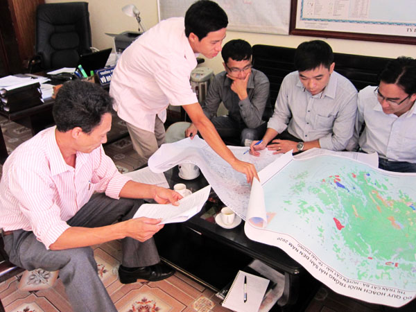
For the objective1: the research team collected necessary spatial data as maps of current aquaculture status and future planning at both provincial to grass-root levels. In addition non-spatial data such as statistical and summarized reports related to aquaculture activities of the previous years were also collected. However, the format and contents of the data are not always consistent, thus it is necessary to be processed and updated.
For the objective 2: during the fieldtrip 3 aquaculture areas were surveyed including: Cat Ba Island, Cat Hai district as a representative for marine culture; Tran Duong – Hoa Binh, Vinh Bao district as a representative for brackish-water culture; Tan Phong, Kien Thuy as a representative for brackish-water culture.
As the result, Tan Phong and Cat Ba Island are critical culture areas that are suffering with risks caused by environmental and disease threats. Thus, they should be considered as pilot areas for further studies.
Click here for more photos from this fieldtrip